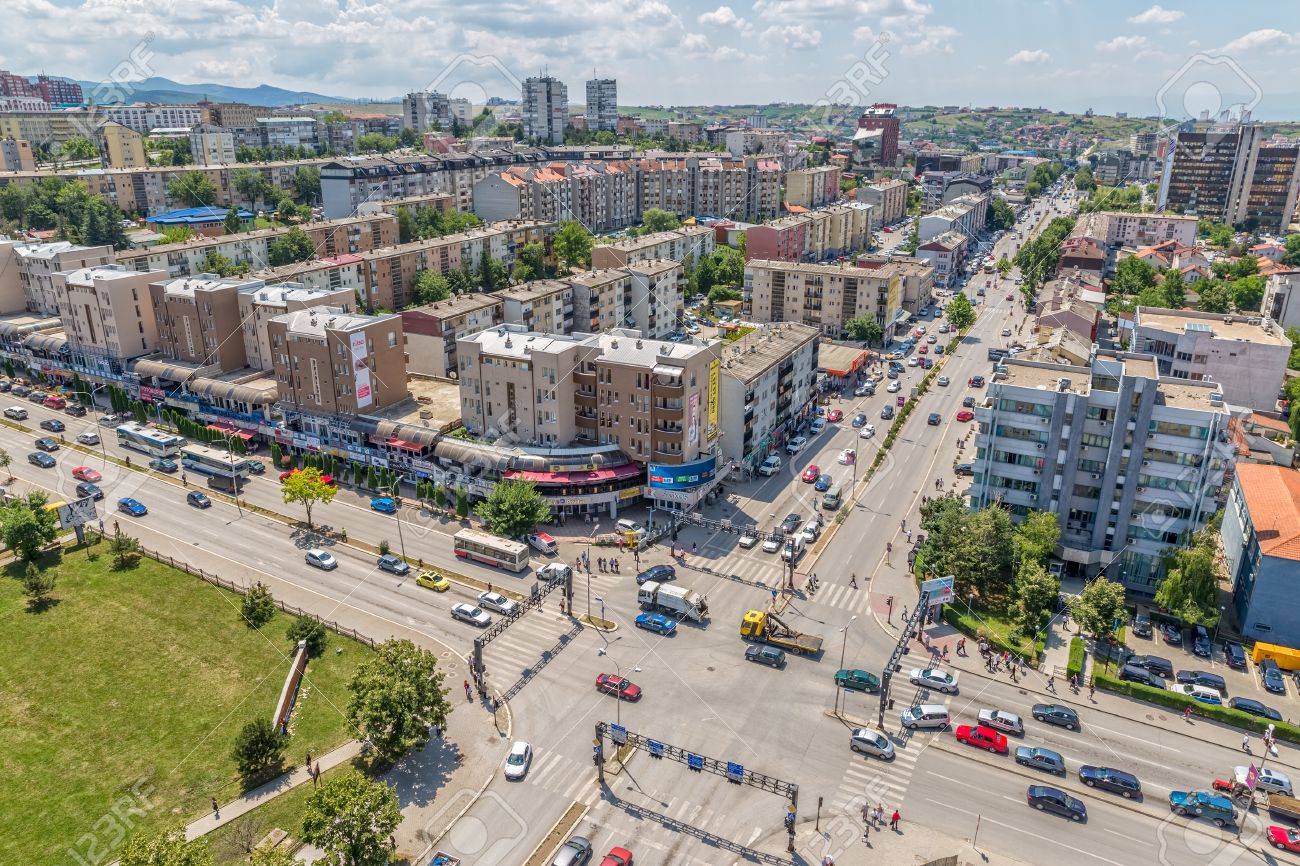
The Municipality of Vitia has experienced significant demographic growth over the past decades, with the population increasing from 27,308 inhabitants in 1948 to approximately 47,896 inhabitants in 2020, alongside an increase in the number of households from 4,137 to 8,574. The urban centre of Vitia has also expanded considerably, accounting for around 10% of the municipality’s total population. However, future demographic trends indicate challenges related to migration. Despite a positive natural population increase of 0.84%, continued negative migration trends are expected to influence population dynamics. Projections estimate that the resident population could decrease to around 40,711 inhabitants by 2030 under a high-migration scenario, while alternative projections estimate approximately 50,236–50,737 inhabitants by 2030 when considering natural growth and migration patterns. Including the diaspora, the total population linked to Vitia is projected to reach approximately 64,818–64,895 inhabitants by 2030.
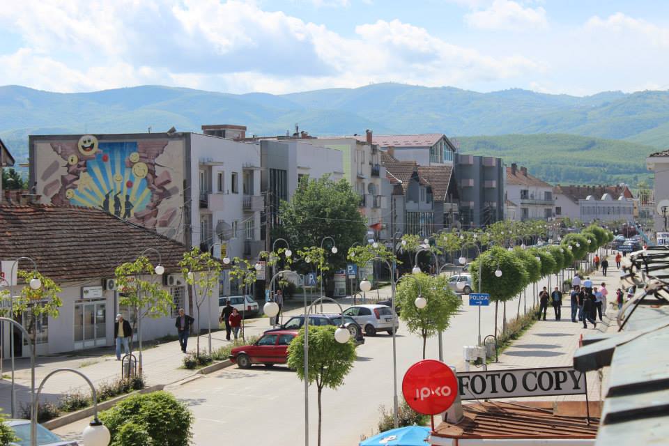
Located in the south-eastern part of Kosovo, within the Anamorava region, the Municipality of Vitia covers an area of approximately 270 km² and consists of one urban centre and 38 villages. Its strategic geographic position, close to major regional centres such as Gjilan and Ferizaj, as well as its connection to regional transport corridors, provides important opportunities for economic development. Vitia is characterized by its agricultural potential, favourable conditions for agro-industrial development, rich cultural heritage, and historical importance as a centre of Albanian-language education, with the first documented Albanian school in Kosovo established in Stubëll in 1584.
The Municipal Development Plan of Vitia for 2023–2031 is guided by the vision of creating a modern, functional, and sustainable municipality that serves as a bridge for regional connections and development. The strategic vision focuses on achieving balanced spatial and socio-economic development, improving infrastructure, protecting environmental and cultural resources, and enhancing the quality of life for all citizens.
The Plan, which is based on a fully participatory process, is constituted by 5 following phases:
- Introduction and Municipality’s profile and scanning the current state;
- Vision, Framework of Spatial Development and Strategic Development Goals;
- Spatial Attributes of the Development Concept and Sectorial Development;
- Action Plan and Strategic Priorities;
- Implementing and Monitoring Plan.
This multi-sectorial plan covers the following 12 thematic fields:
- Historical background of the municipality’s development;
- Municipality’s main characteristics;
- Municipality’s demographic dynamics and development;
- Municipality’s human and financial capacities;
- Economic Development;
- Technical Infrastructure;
- Transortation and its infrastructure;
- Public and social infrastructure;
- Environmend and ares under certain threat;
- Cultural, Natural Heritage and Touristic Assets;
- Setlements;
- Housing.
To address all these sectors and themes, the main strategic objectives of the plan include:
- Sustainable Economic Development: Strengthening agriculture, agro-processing, industry, entrepreneurship, and local businesses while creating employment opportunities and attracting investment.
- Improved Infrastructure and Connectivity: Developing sustainable technical infrastructure, transport networks, water supply, wastewater systems, energy efficiency, and digital connectivity.
- Environmental Protection and Sustainable Resource Management: Protecting natural resources, biodiversity, agricultural land, and promoting climate resilience and sustainable waste management.
- Social and Public Services Development: Improving education, healthcare, social services, cultural facilities, and community infrastructure to ensure inclusive development.
- Cultural Heritage and Tourism Development: Preserving and promoting Vitia’s historical, cultural, and natural assets to support tourism and strengthen local identity.
- Balanced Spatial Development: Promoting efficient land use, sustainable settlements, and coordinated urban-rural development.
Overall, the strategic direction of Vitia aims to create a resilient, competitive, and inclusive municipality, combining economic growth, environmental sustainability, and improved living conditions for current and future generations.
The Official Document Link (in Albanian): viti.rks-gov.net/wp-content/uploads/2024/02/Hartat-e-Planit-sipas-PZHK-se.pdf
Related Maps: Municipality Development Plan of Vitia 2023-2031_Maps